
Why Canada’s 2025 Wildfire Season Is Triggering Unprecedented Smoke Events Across North America
Canada’s wildfire crisis escalates in 2025, with smoke blanketing U.S. cities and record-breaking blazes pushing communities to the brink.
- 1,746+ wildfires have erupted in Canada as of June 5, 2025.
- 2.6 million hectares (6.4 million acres) have burned—bigger than Vermont.
- Smoke impacts: Air quality warnings as far south as Florida, “unhealthy” levels in 6+ U.S. states.
- “Zombie fires”: Some blazes have smoldered for over two years beneath snow.
The 2025 wildfire season is rewriting records across Canada—driven by unprecedented heatwaves, stubborn drought, and unrelenting winds. In just a few short weeks, more than 1,700 fires have sparked from Manitoba to British Columbia, torching forests, upending communities, and sending ominous clouds of smoke across the continent.
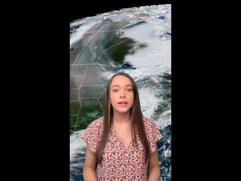
NOAA and its sophisticated satellites have been on high alert since May. Their space-based eyes track vast plumes stretching thousands of miles, revealing the raw, unchecked power of this year’s blazes. This isn’t just a Canadian crisis: smoke has swept over the Midwest, blanketing Wisconsin, Michigan, and even reaching Florida, prompting urgent air quality alerts and driving residents indoors.
Wildfire experts state the 2025 season now rivals 2023—the most destructive year in Canadian history. Some infernos have become “zombie fires,” surviving beneath blankets of snow all winter, only to reignite with the spring thaw in provinces like Alberta and British Columbia.
What’s Fueling Canada’s Record 2025 Wildfire Season?
Scorching temperatures and relentless drought have created a tinderbox in Canada’s boreal forests. These forests—dense with coniferous trees—naturally support wildfires, but climate change has supercharged the conditions.
Lightning remains a frequent natural spark, but experts note a worrying uptick in human-caused ignition. The exact breakdown between natural and accidental causes is still unclear, but both factors are pushing Canada into dangerous territory as the peak fire months (May through September) continue.
Meteorologists with NOAA warn that shifting winds and bone-dry vegetation will only worsen the crisis, threatening more evacuations and new states of emergency.
How Is U.S. Air Quality Affected by Canadian Smoke?
The impacts don’t stop at the border. As thick wildfire smoke drifts southward, the U.S. National Weather Service has issued dozens of air quality warnings. North Dakota, Montana, Minnesota, South Dakota, and the entire Midwest have seen “unhealthy” to “very unhealthy” levels. By early June, even parts of Michigan and the East Coast felt the effects.
Communities far from the flames are experiencing hazy skies, pungent air, and warnings to limit outdoor activity—clearly illustrating how interconnected North America’s environment has become.
How Do Satellites Help Combat Extreme Wildfires?
Modern satellites are the unsung heroes of wildfire response. NOAA’s GOES-18 recently captured dramatic shots of pyrocumulonimbus clouds—towering, thunderstorm-like formations created by ferocious fires in Alberta. These remarkable weather systems can actually spawn new lightning and fires.
NOAA’s technology tracks fire size, temperature, spread, and power, providing vital, real-time data to first responders, air quality forecasters, and the public. Fast satellite alerts support firefighting decisions and sometimes mean the difference between safety and tragedy.
What Can You Do During a Smoke Crisis?
Protecting your health starts with vigilance. If you’re in an affected zone:
– Watch for official air quality warnings via the AirNow portal.
– Reduce outdoor activities, especially for children, seniors, and those with respiratory issues.
– Use HEPA air purifiers and keep windows closed.
– Wear an N95 mask if you must be outside during “unhealthy” air days.
– Monitor local news and emergency updates for evacuation alerts.
Stay informed, stay prepared, and be proactive—your safety is in your hands. Here’s your quick wildfire smoke checklist:
- Check local air quality daily at AirNow.gov.
- Prepare an emergency kit with masks and medications.
- Close windows and doors; use air conditioning in recirculate mode.
- Plan evacuation routes in case of severe wildfire threats.
For the latest on wildfire trends, satellite imagery, and air quality updates, follow official sites like NOAA, EPA, and National Weather Service. Don’t let the smoke catch you off guard—act now to protect your health and your loved ones.


