Unprecedented Satellite Data Reveals Canada’s 2025 Wildfire Season Blazing Out of Control—with Worse to Come
Canada’s 2025 wildfire season explodes with record-breaking fire hot spots, driven by heat, drought, and climate change. Is this the new normal?
- 4x more satellite fire hot spots than the average for early June
- 7,700 sq mi of land already scorched—second only to 2023
- 200+ wildfires actively burning in Canada right now
- 90% of Manitoba fires started by humans this year
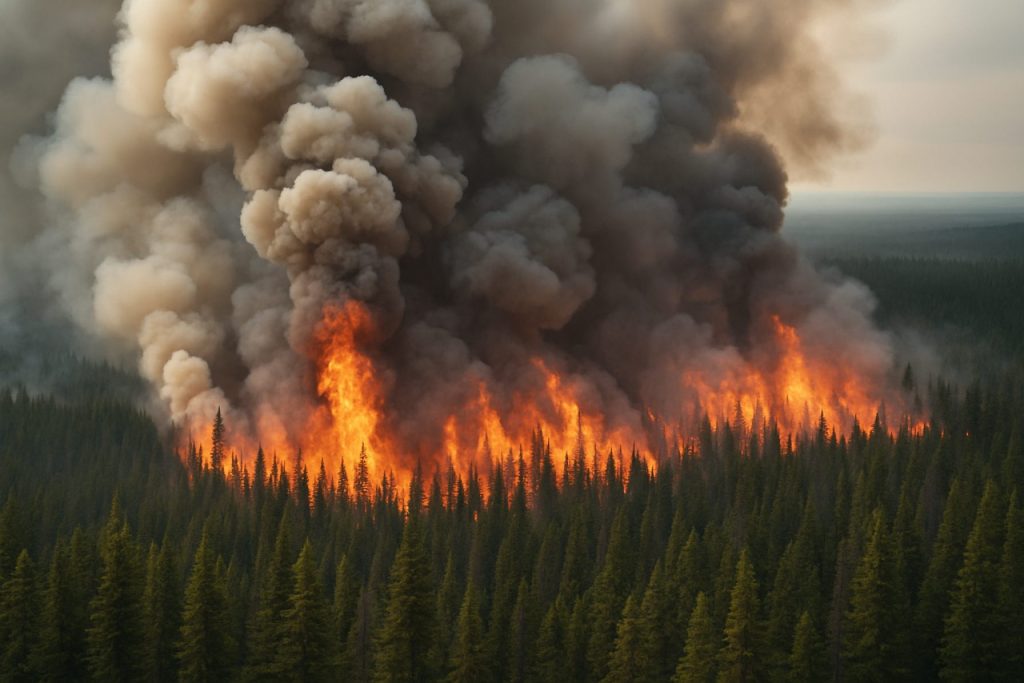
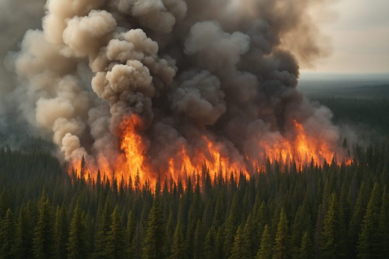
Satellite images are telling a grim story. In just the first weeks of summer 2025, Canada’s wildfire season has exploded, scorching the landscape and darkening skies thousands of miles away.
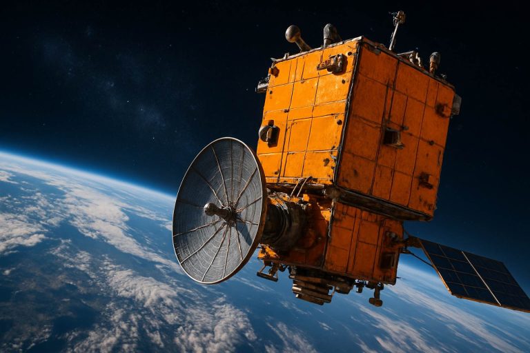
Every day, NASA satellites beam back real-time images from above. This technology has revealed a startling trend—so far, satellite data picked up four times as many wildfire hot spots as usual for early June. Only 2023 saw such high numbers this early, making 2025 the runner-up in a worrying race.
Why Are Canada’s Wildfires Surging in 2025?
Weather fueled by climate change is a big part of the answer. The end of May and start of June were unusually warm and dry, especially in the vast forests of Manitoba, Saskatchewan, and Alberta.
Climate experts from the Canadian government link the spikes in temperature and dryness directly to global warming. Even though nearly 90% of wildfires in some provinces stem from human activity, it’s the climate’s mood swings—hotter, drier, and less predictable—that let every spark explode.
What Do Satellite “Hot Spots” Really Mean?
Those pulsing dots covering satellite maps each represent intense heat, but not necessarily separate wildfires. Each hot spot covers about 26 football fields in area. Some may be new fires; others capture the same blaze multiple times as it grows.
So far this year, Global Forest Watch and Canadian Interagency Forest Fire Centre data show over 200 active wildfires, devouring a combined 7,700 square miles of wilderness—most of it in just the past week.
What’s Next? July and August 2025 Forecasts Look Scary
If you think relief is coming, think again. Natural Resources Canada warns that July and August could be hotter and even drier than normal, especially across the northern prairies and southern British Columbia. Fire weather specialists expect above-average risk through the end of the fire season in October.
Last year, Canadian wildfires destroyed an area double the size of Lake Superior. This year, all signs point to another relentless fire season—potentially Canada’s new summer reality.
How Do Wildfires Impact People and the Planet?
Wildfires do more than burn trees. They unleash massive clouds of smoke, affecting air quality from Toronto to New York and even across the Atlantic. Wildlife habitat disappears. Communities scramble to evacuate, sometimes with little warning.
Wildfire smoke has already hung thick over highways this summer, snarling traffic and endangering respiratory health. For real-time air quality updates, visit AirNow or The Weather Channel.
How Can Canadians Prepare for More Wildfire Threats?
Awareness is the first defense. Check fire risk maps daily. Prepare emergency kits and evacuation plans. If you live near forests or grasslands, clear flammable materials around your property.
For tips on protecting your home, see guidance from NASA and World Health Organization about air quality and safety.
Take Action Now: Be Ready, Stay Informed
- Monitor fire and weather alerts every day
- Build a wildfire evacuation kit—include masks and eye protection
- Install air purifiers and seal windows during smoke events
- Talk with neighbors and plan an evacuation route
- Support climate action to reduce long-term wildfire risk
The fires are burning faster and hotter than ever. For yourself—and for the next generation—get prepared today.


